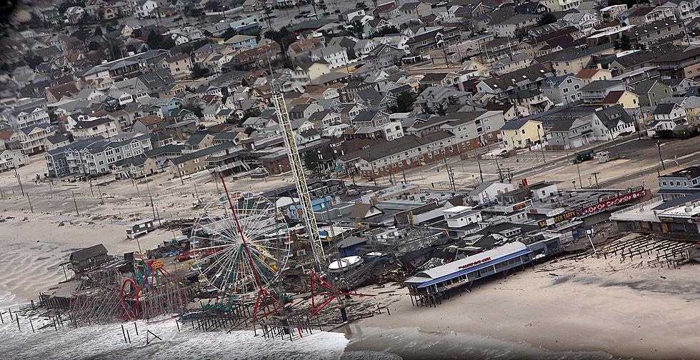
Sandy By The Numbers
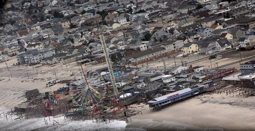
Hurricane Sandy, after killing at least 69 people in the Caribbean, streamed northward, merged with two wintry weather systems and socked the Northeast, mid-Atlantic and Great Lakes with wind, waves, rain and snow. Some figures associated with Sandy's rampage through the U.S., as of Tuesday evening.
— Maximum size of storm: 1,000 miles across
— Highest storm surge: 13.88 feet, at New York
— Number of states seeing intense effects of the storm: At least 17
— Deaths: At least 55
— Damage: Estimated property losses at $20 billion, ranking the storm among the most expensive U.S. disasters
— Top wind gust on land in the U.S.: 140 mph, at Mount Washington, N.H.
— Power outages at peak: More than 8.5 million
— Canceled airline flights: More than 18,100
— Most rainfall: 12.55 inches, at Easton, Md.
— Most snow: 29 inches, at Redhouse, Md.
— Evacuation zone: Included communities in more than 400 miles of coastline from Ocean City, Md., to Dartmouth, Mass.
__
Sources: National Weather Service, FlightAware, AP reporting
 Source: Sandy By The Numbers
More From 97.3 ESPN




![Return To Barrier Islands Not Soon Enough For Residents [AUDIO]](http://townsquare.media/site/385/files/2012/11/155105891_8.jpg?w=980&q=75)
![Who Will Pay For The Sandy Clean-Up? [AUDIO]](http://townsquare.media/site/385/files/2012/11/njtransit-bay-head.jpg?w=980&q=75)
![Sandy Damage Won’t Deter Voters [POLL/AUDIO]](http://townsquare.media/site/385/files/2012/11/central-regional-line-up21.jpg?w=980&q=75)
![Is Fort Monmouth An Option For Sandy Evacuees? [AUDIO]](http://townsquare.media/site/385/files/2012/04/fortmonmouth.jpg?w=980&q=75)